Prošćansko jezero is where the Plitvice Lakes begin: the first and highest of the sixteen, at 638 metres, 2.1 kilometres long, 37 metres deep and 68 hectares, second in size only to Kozjak. Almost nobody walks it, because the boardwalks and the big waterfalls are elsewhere. That is the point. Which programmes reach it from Entrance 2, what the walk along the shore is like, and what a ticket costs in October and November.
Checked: 21 September 2026
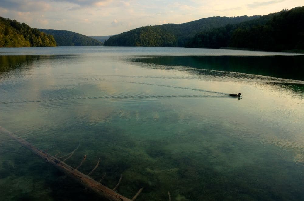
The water of Plitvice comes in at the top, at Prošćansko jezero. Two streams, the Crna rijeka and the Bijela rijeka, join near the hamlet of Plitvički Ljeskovac to form the Matica, and the Matica fills the long, narrow first lake: 2.1 kilometres from south to north, between 180 and 400 metres wide, 37 metres deep at most and 68 hectares in area, at 638 metres above sea level. Only Kozjak, the lake the electric boats cross, is bigger, at 81.5 hectares. From the northern end of Prošćansko the water spills over the Labudovac barrier and its waterfall into Ciginovac and Okrugljak, and from there through the rest of the twelve Upper Lakes to Kozjak and on down the canyon of the Lower Lakes. The name comes from prošće, stakes: the story is of a fence of stakes that once closed the lake.
| What | Value |
|---|---|
| Position in the system | first and highest of the 16 lakes, Upper Lakes group |
| Altitude | 638 m |
| Area | 68 ha (Kozjak: 81.5 ha) |
| Depth | 37 m (Kozjak: 47 m) |
| Length and width | 2.1 km, 180 to 400 m |
| Fed by | the Matica (Crna and Bijela rijeka) |
| Outflow | Labudovac barrier and waterfall into Ciginovac and Okrugljak |
Why it is empty
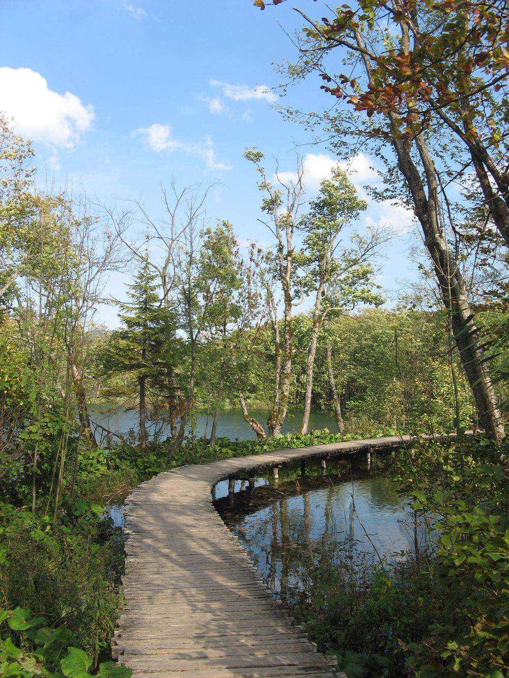
The Plitvice everyone photographs is the Lower Lakes canyon and the boardwalks between Galovac and Kozjak. The routes from Entrance 1 (A, B, C) never come near Prošćansko, and the most popular route from Entrance 2, programme H, starts at the Labudovac stop at the lake's northern tip and immediately heads downhill towards the falls. The shore of Prošćansko itself is a forest path along a still lake: no cascades, no wooden walkways over rushing water, no viewpoints with a queue. On a weekday in October you can walk its two kilometres and meet more ducks than people.
Which programme gets you there
- Programme E, from Entrance 2, 5.1 km, 2 to 3 hours: a short crossing of Kozjak by electric boat, then the walk upstream along the Upper Lakes all the way to Prošćansko jezero, and back by the panoramic vehicle. The shortest way to see the whole staircase of the Upper Lakes end at the still first lake.
- Programme K2, from Entrance 2, 17.5 km, 6 to 8 hours: the long loop of the whole lake zone, which includes the shore path along Prošćansko. The K programme from Entrance 1 (K1, 16.5 km) is its twin from the other end. Both are walking routes with only the boat crossing of Kozjak.
- Programme H, from Entrance 2, 8.9 km, 4 to 6 hours, the most popular one, only touches the lake's northern end at Labudovac before walking down the Upper Lakes, crossing Kozjak and continuing through the Lower Lakes. If you want Prošćansko on a busy day, start with H and add the shore walk from Labudovac before you head down.
- Programme F from Entrance 2 (4.6 km) is listed as temporarily closed on the park's site as of September 2026. Programmes A, B and C from Entrance 1 do not reach the Upper Lakes at all.
Autumn prices and hours
The park's 2026 price list has three seasons. From 1 to 31 October a day ticket costs 23 euros for adults, 14 for students and 6 for children from 7 to 18, with cars at 1.50 euros an hour in the car parks. From 1 November to 31 March it drops to 10, 6 and 4 euros. Between June and September it was 40 euros. Children under 7 enter free. The boats and the panoramic vehicles run a shorter day in autumn; check the last departures at the entrance before you set off on E or K, because the walk back from Labudovac to Entrance 2 without the vehicle is long. In late October the beech woods around Prošćansko turn, and the lake, with no crowds and no wind, is at its best.
Getting to Entrance 2
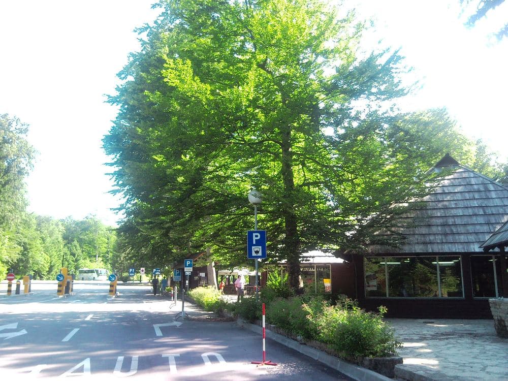
Entrance 2 is at Hladovina, on the D1 road in the southern part of the park, between the settlements of Mukinje and Jezerce. From Zagreb you leave the A1 at Karlovac and follow the D1 south through Slunj and Rakovica, about 130 km and 2 hours. You pass Entrance 1 at Rastovača first, Entrance 2 is about 3 km further on. From Split and Zadar the A1 exit is Gornja Ploča, then Udbina and Korenica. Buses between Zagreb and the coast along the D1 stop at both entrances, ask for Ulaz 2 or Hladovina. Online tickets are tied to an entrance and an arrival slot, so choose Entrance 2 when you book.
| From | Distance | Time | Route |
|---|---|---|---|
| Zagreb | 130 km | about 2 h | A1 to Karlovac, D1 through Slunj and Rakovica |
| Zadar | 130 km | about 1 h 45 | A1 to Gornja Ploča, then Udbina and Korenica |
| Split | 250 km | about 3 h | A1 to Gornja Ploča, then Udbina and Korenica |
| Korenica | 10 km | about 15 minutes | D1 north |
| Entrance 1 (Rastovača) | 3 km | 5 minutes | D1 south |
The walk from the boat to the lake
Programme E begins with the short boat crossing of Kozjak below Entrance 2. From the far dock you walk upstream along the Upper Lakes: the Burgeti pools, Gradinsko with its reeds and herons, Galovac under Veliki and Mali Prštavac, then Batinovac and Okrugljak. Kozjak lies at about 535 m, so the whole walk climbs about 100 m. Ciginovac, the second lake, sits below the path near the top, dark under beech. The boardwalks end at Labudovac, where Prošćansko drops some 20 m into Okrugljak over a wide barrier with a cave hollowed out beneath it. Above the barrier you stand at the northern tip of the first lake, a few minutes from the vehicle stop.
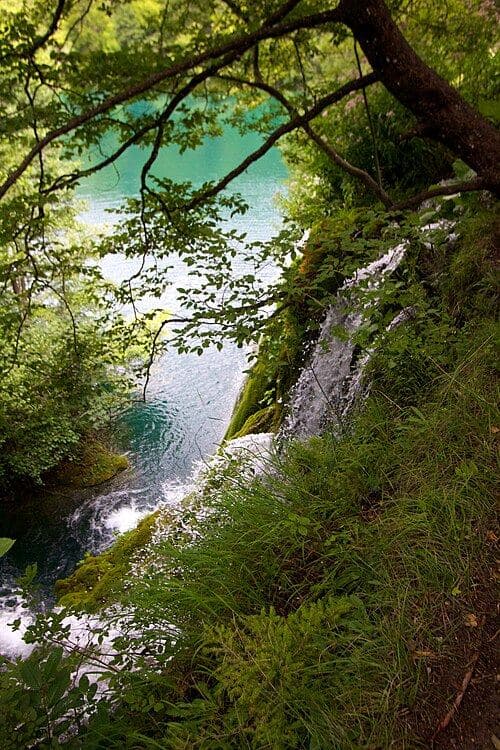
From Labudovac the shore path heads south along the lake as an earth and gravel forest track, mostly level, under beech that reaches the water. There are no boardwalks and no railings on this stretch, and nothing falls: the lake is simply still, with the far shore 180 to 400 m away. If you are on E, walk out as far as your timing allows and return the same way, because the vehicle at Labudovac is your way back to Entrance 2. At the southern end the Matica comes in from the hamlet of Plitvički Ljeskovac. Stay on the path: stepping off it to reach the water is forbidden throughout the lake zone.
What to bring
The shore of Prošćansko has none of the services of the busy part of the park. Between the Labudovac stop and the far end of the lake there is nothing to buy and nowhere to shelter, and the walk there and back adds about 4 km to programme E. Pack as you would for a short forest hike at 600 m on the Lika plateau: the air by the water is colder than at the entrance in the sun, and the beech canopy keeps the path damp for days after rain.
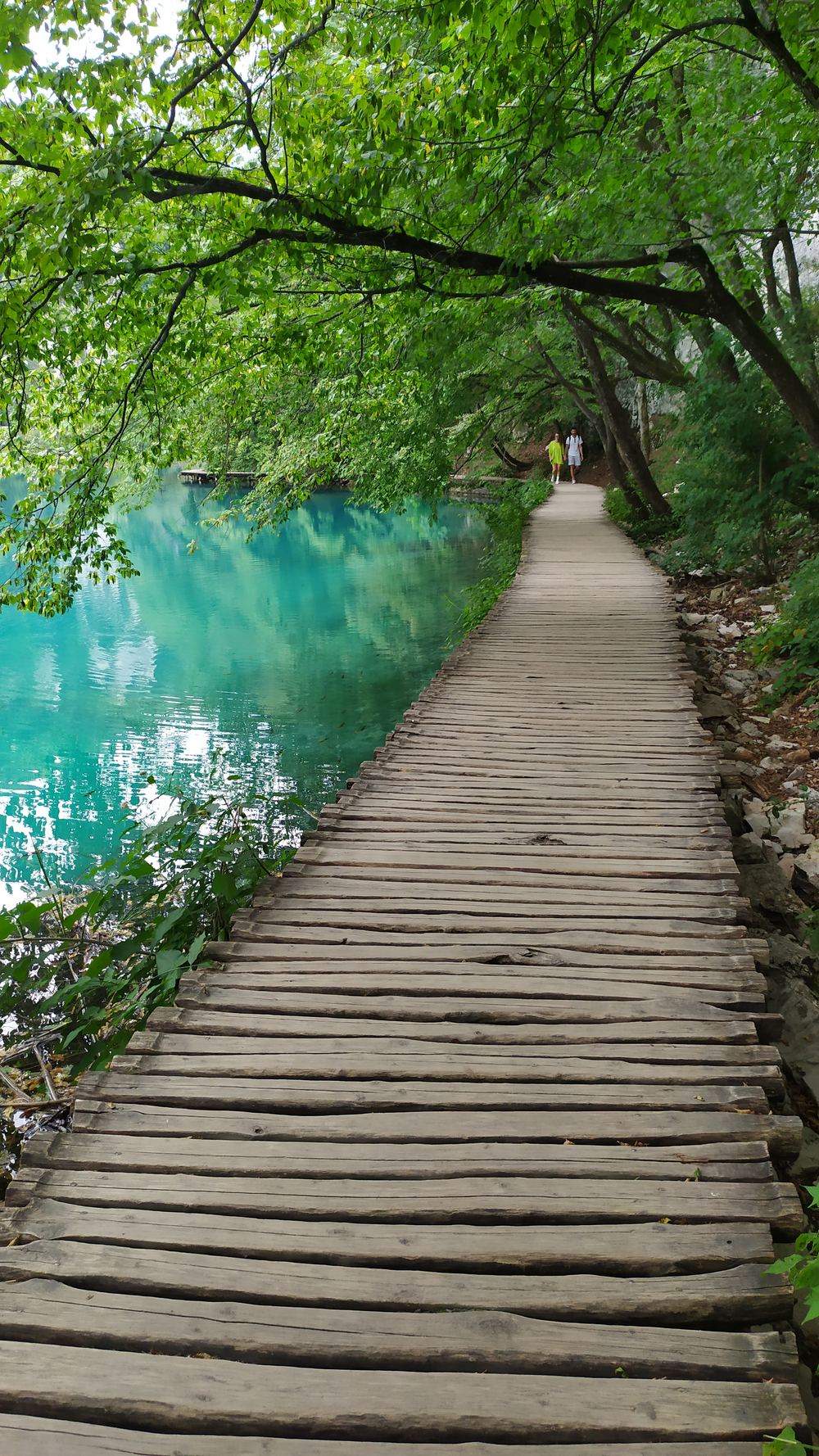
- Shoes with grip: the shore path is earth, roots and loose stone, and the boardwalks below Labudovac are wet timber without railings.
- Water and a packed lunch from the shop in Mukinje or from home, there is no kiosk on the shore.
- A warm layer and a hat: at 638 m, October mornings are cold and fog sits on the lake until it lifts.
- A rain jacket, the path is too narrow and rooty for an umbrella.
- Your ticket, printed or on your phone, it is checked when you board the boat and the vehicle.
- A downloaded map, mobile signal is weak in the forest along the shore.
Light, fog and the season
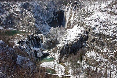
The day at Prošćansko is set by daylight and the vehicle timetable, and in autumn both shrink. After the clocks change at the end of October the sun is down before 17:00, and under the beech on the shore the light goes half an hour earlier. On still mornings fog lies on the lake and in the valley of the Upper Lakes, so an early boat buys empty boardwalks and the clear view of the water comes around midday. From November the park may close the Upper Lakes paths and stop the boats in snow and ice, and the shore path goes with them. October is the last month you can count on it, and April and May, with Labudovac at full flow after the snowmelt, are the first.
Where to stay and eat
The closest beds are at Entrance 2 itself: the park's own hotels stand next to the gate, which makes the first boat easy. Just south along the D1 is Mukinje, built for park staff after the park was founded, with the nearest shop, a post office and a few restaurants that fill in the afternoon with walkers coming off the loop. Jezerce, the next village, has guest houses and apartments. Korenica, 10 km south, is the town: supermarkets, bakeries, a petrol station and cheaper rooms, and the place to stock up if you cook for yourself. Plitvica Selo, north of Entrance 1, has farmhouse apartments, but from there Entrance 2 is a drive.
Frequently asked questions
- How big and how deep is Prošćansko jezero?
- 68 hectares, 2.1 kilometres long, 180 to 400 metres wide and 37 metres deep, at 638 metres above sea level. It is the first and highest of the 16 Plitvice Lakes and the second largest after Kozjak.
- Which Plitvice programme walks along Prošćansko jezero?
- Programme E from Entrance 2 (5.1 km, 2 to 3 hours) walks up the Upper Lakes to Prošćansko, and the long K2 loop (17.5 km) includes its shore. Programme H only touches the northern end at Labudovac.
- What does Plitvice cost in October 2026?
- 23 euros for adults, 14 for students and 6 for children from 7 to 18, from 1 to 31 October; from 1 November it is 10, 6 and 4 euros. Parking costs 1.50 euros an hour for cars.
Official sources
Make Croatia Atlas a preferred source
One click and Google shows you our stories more often in Top Stories and in AI answers. It changes your own results only.