Korčula's old town was designed as a machine for handling wind, and once you see the pattern you cannot unsee it. Then leave the walls for Lumbarda, Pupnatska Luka and the wine.
Checked: 21 September 2026
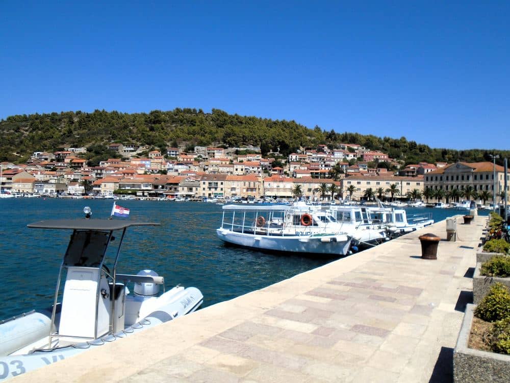
Korčula town sits on a small peninsula and is often called a smaller Dubrovnik, which undersells what is actually more interesting about it. Dubrovnik is a walled city that grew. Korčula is a walled city that was planned, and the plan is still legible from any doorway. Add a cathedral built by local stonemasons, a sword dance performed since the sixteenth century, and an island behind the town with sand beaches and its own grape variety, and two days fill themselves without effort.
Read the street plan before you read the buildings
Enter through the Land Gate under the Revelin tower and stand on the main street for a moment. Side lanes run off it to left and right like the bones of a fish. On the western side they are straight, so the cooling summer maestral blows through them. On the eastern side they are bent, so the cold winter bura hits a wall instead of a corridor. It is a piece of climate engineering from a town that could not afford to get this wrong, and it is the single best thing to understand here before you look at any façade.
- The cathedral bell tower has a narrow staircase and a small platform. The view explains the street plan better than standing in it does.
- Moreška is performed for visitors through the summer, with the traditional date on 29 July. Buy tickets the same day at the tourist office or online.
- The old town has almost no shade at midday and the stone holds heat. Do the walls and the tower early, swim in the afternoon.
- Grk grows only in the sandy soil around Lumbarda and is rarely exported. If you drink one local white here, make it that one.
The cathedral, the museum and the Marco Polo question
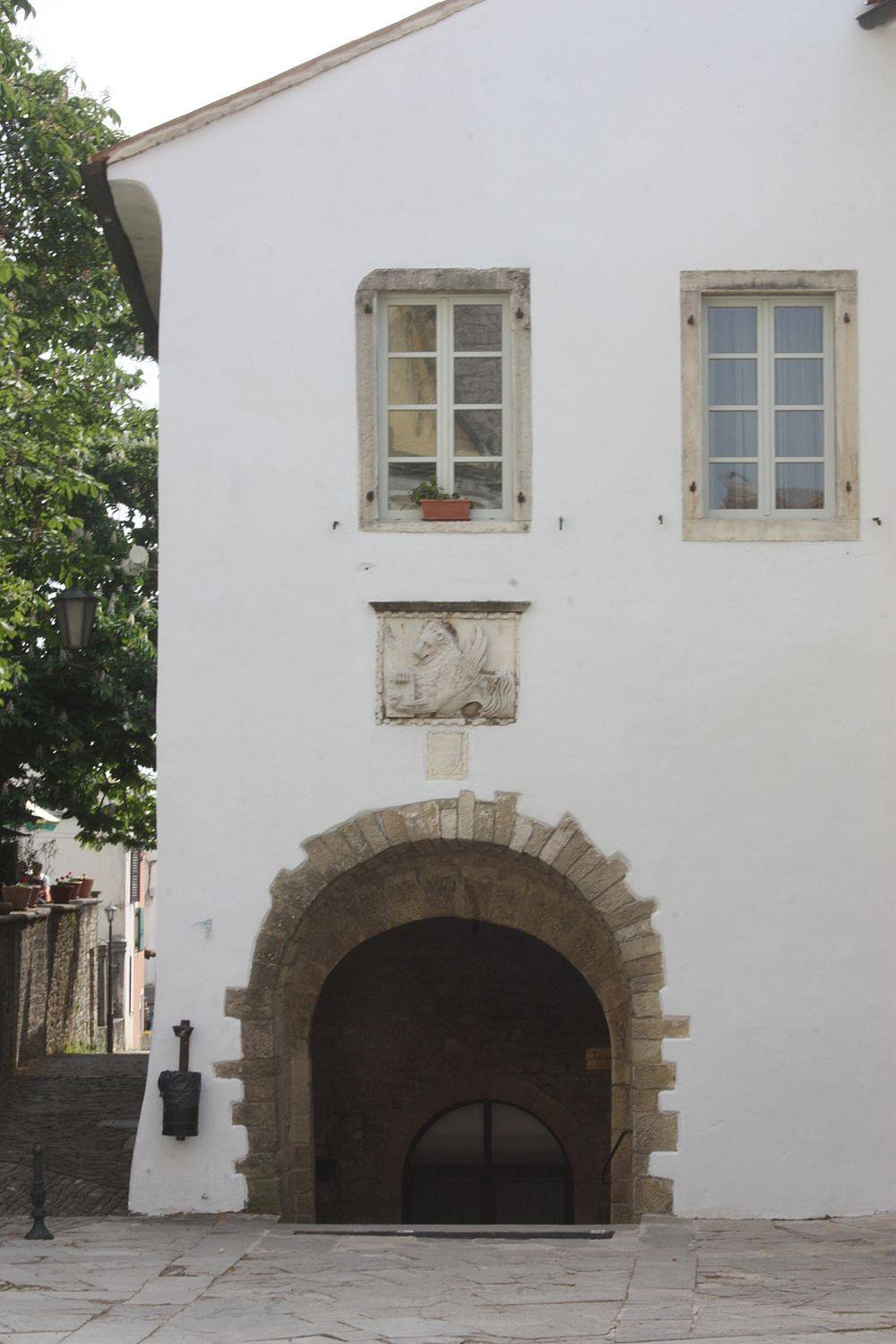
St Mark's Cathedral took most of the fifteenth and sixteenth centuries and was finished by local masters, above all Marko Andrijić, whose ciborium is the piece to look for inside. The town museum opposite is small and gives you the shipbuilding and stonemasonry context in about forty minutes. As for the house sold as Marco Polo's birthplace: the claim is not supported by evidence, Venice remains the likely answer, and the building itself is a later structure. Go if you want the rooftop, not for the history. Korčula has enough real history that it does not need this one.
Leave the walls: Lumbarda, Pupnatska Luka, Vela Luka
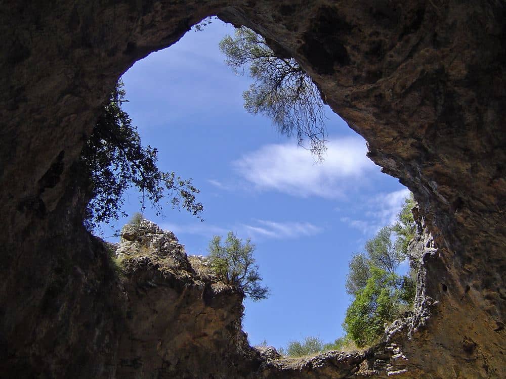
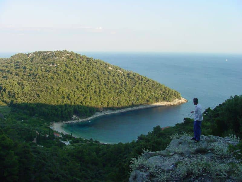
Six kilometres east, Lumbarda has the sand beaches the rest of the coast does not, Vela Pržina and Bilin Žal, plus the vineyards that produce Grk. South over the ridge, Pupnatska Luka is the bay most people photograph and the descent is steep, narrow and worth it. At the far western end, Vela Luka is a working town with the Vela Spila cave above it, inhabited for close to twenty thousand years. Badija island, ten minutes by taxi boat, has a Franciscan monastery and deer that will approach you. Pick by mood: sand, cliffs, prehistory or a short boat.
“Every other old town on this coast grew into its shape. Korčula was drawn first and built afterwards, and the wind was in the drawing.”
Two nights works well. Give the first afternoon to the old town, the tower and a Moreška performance, then use the second day for Lumbarda or Pupnatska Luka and a bottle of Grk with dinner. If you only have a day off the ferry, walk the town, climb the tower and swim off the rocks below the eastern walls. That is still a better day than most people manage here.
How to get to Korčula
Korčula has no airport. Fly to Dubrovnik or Split and finish by road and water. From Dubrovnik, drive or take the bus over the Pelješac bridge to Orebić, about 2 hours, then the car ferry across the channel, a crossing of around 15 minutes. That ferry docks at Dominče, 3 km east of the old town, with a local bus or taxi for the last stretch. Passenger catamarans from Split and Dubrovnik land at the town waterfront just west of the walls, within sight of the Land Gate. They run daily in summer and thin out sharply after October. The car ferry from Split lands at Vela Luka, about 45 km from Korčula town.
| From | How | Where you land |
|---|---|---|
| Dubrovnik | Car or bus over the Pelješac bridge, car ferry from Orebić | Dominče, 3 km east of the old town |
| Dubrovnik | Seasonal catamaran | Town waterfront, west of the walls |
| Split | Seasonal catamaran, often calling at Hvar | Town waterfront, west of the walls |
| Split | Car ferry | Vela Luka, 45 km west of the old town |
| Orebić | Foot passenger boat | Town waterfront |
Getting around the island
The island is about 47 km long and the main road runs along its ridge, so every south coast beach means a descent and a climb back. Buses link the town with Lumbarda, Žrnovo, Račišće, Smokvica, Blato and Vela Luka, and the Lumbarda service is frequent enough to build a beach day around. For Pupnatska Luka, Žitna or Bačva you need a hire car or scooter and steady nerves for the single-track descent at Pupnat. The old town is closed to cars. Park outside the walls, where spaces fill by late morning in July and August, and expect to pay. Taxi boats wait on the eastern waterfront beside the marina for Badija, Vrnik and Stupe. Ask about the last return before you go.
Beaches beyond Lumbarda
Lumbarda and Pupnatska Luka cover the east. The rest of the island is shingle and rock. The south coast bays, Žitna and Bačva among them, sit below the ridge villages of Čara and Smokvica, each reached by its own side road, each a steep descent with little shade and at most a seasonal bar at the bottom, so carry water. The north coast around Račišće is calmer and faces the Pelješac mountains. At the western end, Proizd islet off Vela Luka has a shore of smooth white limestone in tiers, which locals call bili boci, and the water over the pale rock is markedly clearer than in the shingle bays. Shoes for getting in and out over rock are worth packing anywhere except Lumbarda.
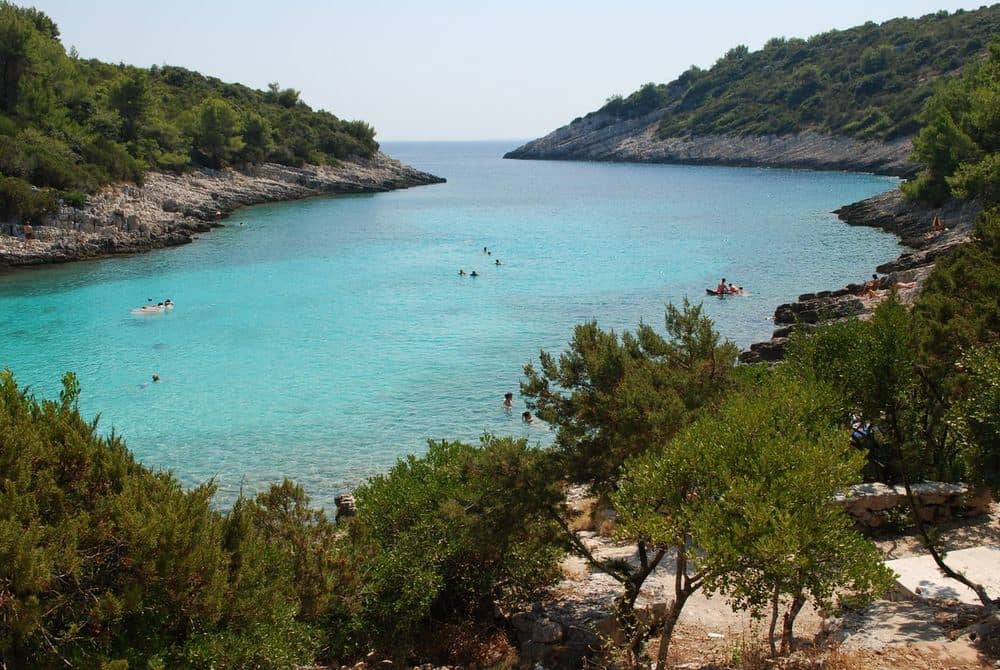
- Žitna: 2 shingle beaches below Čara, the larger with a car park and a seasonal bar, the smaller along a path over the rocks.
- Bačva: narrow shingle cove between Brna and Zavalatica, gravel track through maquis, then a short walk down. Bring what you need.
- Vaja: north coast west of Račišće, white quarry shingle that turns the sea pale. It faces north, so pick a day without bura.
- Istruga: shallow cove west of Brna with medicinal mud on the bottom and water that warms faster than the open bays.
- Stupe: sandy shallows between 2 islets in the Škoji, reached by boat only, the palest water near town.
- Proizd: white limestone slabs off Vela Luka, taxi boat from the waterfront, shoes help getting in and out over the rock.
Markets, fish and the wine villages
Shop in the morning. The town market works on the open ground west of the Land Gate, below the walls, from early morning until noon, with produce from the gardens of Žrnovo and Lumbarda, oil from family mills, honey, almonds and dried figs. The fish market is the small covered building beside it and closes when the night's catch from the Pelješac channel is sold, so go early. Lumbarda has a row of stalls by the main road, and the Vela Luka market on the waterfront sells to locals, with no souvenirs at all. For wine, Grk belongs to Lumbarda and pošip to Smokvica and Čara in the middle of the island, where terraced vineyards climb around the villages and a cooperative in Smokvica sells the result.
When to go, month by month
April and May bring walking weather, open vineyards and a sea still too cold for most. June is the best balance: warm water, long evenings and the old town before the day boats multiply. July and August are the Moreška months and the hottest. The stone lanes hold heat past 20:00, rooms book out and the queue for the Dominče ferry runs long. September is the month islanders will tell you to come: the sea at its warmest, the Grk and pošip harvest under way, and half the crowd gone. October still gives swimming in a good year, then the catamarans thin, restaurants close one after another and by November the island belongs to the people who live on it.
Where to stay
Inside the walls you get the lanes at night, and you pay with stairs, no car access and a bag rolled over cobbles. The streets east of the Land Gate along the marina give a 5 minute walk to the cathedral without those costs. Lumbarda suits families: sand on both sides of the peninsula, its own small market, a bus into town and Grk from the vineyard next door. Vela Luka works if your ferry is from Split, and at 45 km from the old town it rules out evening trips there. Orebić, across the channel on Pelješac, has cheaper rooms, a long beach and the view of Korčula that Korčula cannot give you, with a passenger boat to the old town.
The places, one by one
| Place | What it is | Time needed |
|---|---|---|
| Land Gate and Veliki Revelin Tower | 14th century gate tower with a roof terrace | 30 minutes |
| St Mark's Cathedral | Gothic and Renaissance cathedral with a Tintoretto | 30 to 45 minutes |
| All Saints Church | Confraternity church with a Cretan icon collection | 30 minutes |
| Town Walls and Towers | Venetian sea walls, walk round the peninsula | 20 to 30 minutes |
| Zakerjan Tower | 15th century tower with a summer rooftop bar | 1 hour |
| Tvrđava sv. Vlaha | Western fort on the seaside promenade, sunset | 20 minutes |
| Žrnovo Village | 4 stone hamlets above town, makaruni pasta | 2 to 3 hours |
| Vrnik Island | Quarry islet with 2 taverns and deep water swimming | 2 to 3 hours |
| Račišće Village | 17th century seafarers' village on the north coast | 2 hours |
| Brna Bay | Sheltered resort bay below Smokvica | half a day |
| Blato Old Town | Inland town on a single street with a lime avenue | 1 to 2 hours |
| Hum Peak above Vela Luka | 370 m viewpoint over the western end of the island | 2 to 3 hours |
| Samostan Gospe od Anđela | Franciscan monastery above Orebić with the view back | half a day |
Land Gate and Veliki Revelin Tower
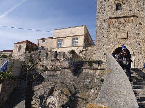
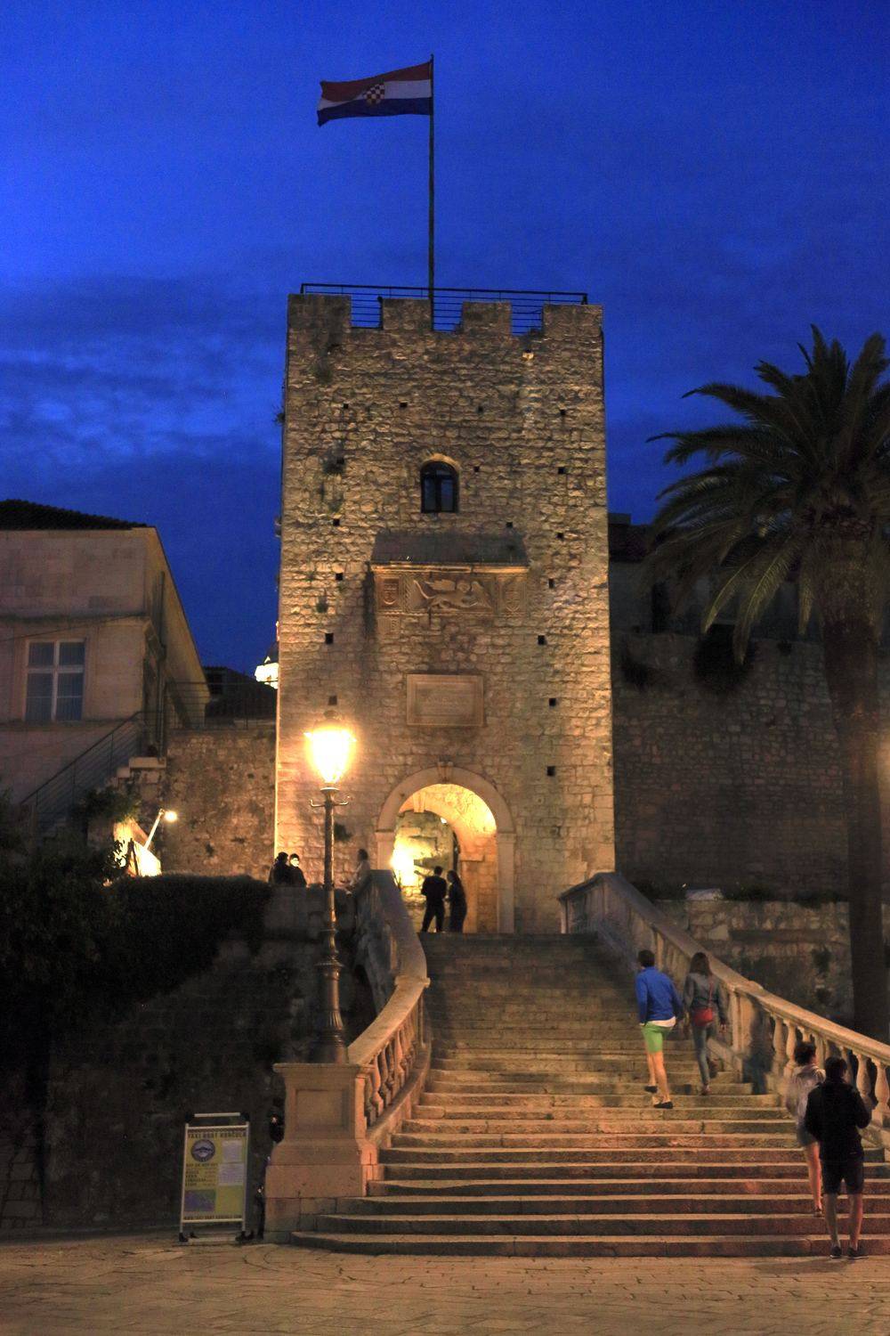
The gate is the only link between the peninsula and the mainland part of town, and the broad Baroque stairway up to it replaced a drawbridge over the ditch in the 19th century. Veliki Revelin, the tower above, is a rectangular 14th century fortification and was the strongest point of the landward defence. Stone coats of arms of Venetian counts and a relief of the winged lion mark its face. Inside, a narrow staircase brings you out onto a terrace with the whole roofscape below, the harbour and the Pelješac coast across the channel. The ticket is cheap. The open space in front of the stairway is the summer stage for the Moreška. Go towards the end of the day.
St Mark's Cathedral
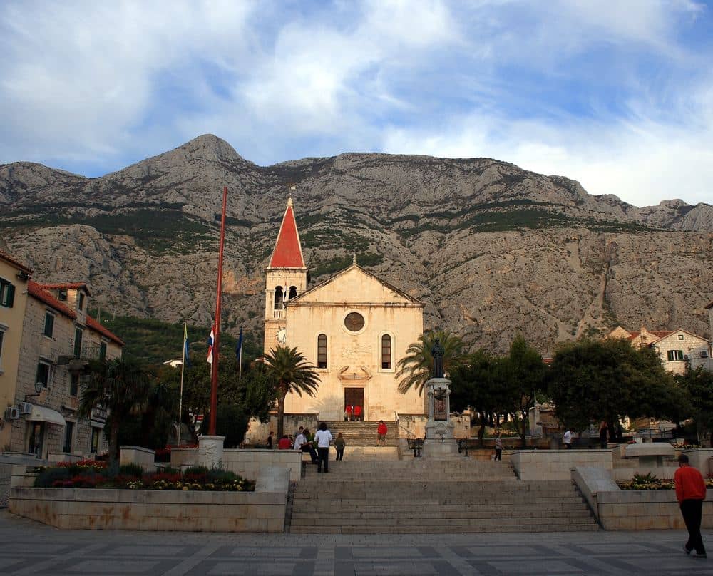
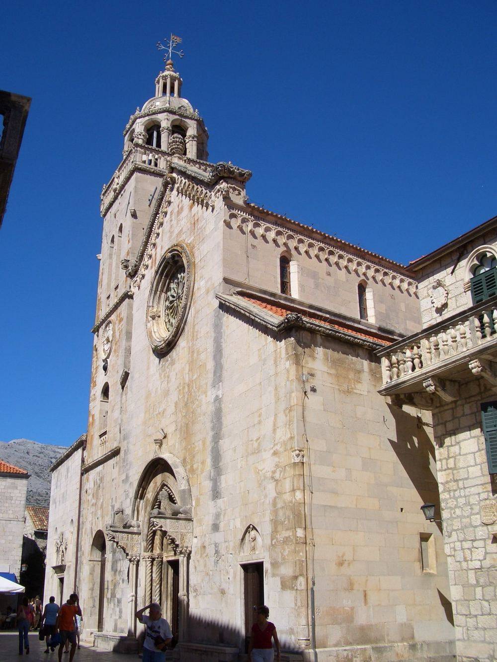
The cathedral stands at the highest point of the peninsula and was built between the 15th and 16th centuries, as Gothic gave way to Renaissance, and the façade shows the change. The Gothic portal with its lions and figures was made in 1412 by master Bonino of Milan. Renaissance stonecutters added the upper part later, and the bell tower with its octagonal lantern is the work of Andrijić as well. Above the main altar hangs a canvas of St Mark with Jerome and Bartholomew, attributed to Tintoretto. The stone was quarried on Vrnik and the carvers were local, since Korčula masons were valued throughout Dalmatia. Entry is charged.
All Saints Church
In the southern part of the old core, this is the seat of the oldest confraternity on the island, a lay community founded in the 14th century to care for the sick, the poor and the burials of its members. The confraternity still exists, so the church is in use. The interior is Baroque, with a wooden ceiling and a row of altars. The best piece is the Lamentation of Christ, an 18th century Venetian wooden group carried in procession on Good Friday. Beside the church is a collection of icons painted in Crete between the 14th and 17th centuries, which reached the island through Venetian shipping. It opens in season in the morning and around masses. The icon ticket is cheap.
Town Walls and Towers
The walls once girded the whole peninsula. They went up in stages from the 13th to the 16th century, and most of what stands today dates from Venetian rule, when the threat came by sea from the Ottoman fleet and pirates. There were originally 12 towers. Several survive, among them the round tower of St Barbara, Zakerjan and Veliki Revelin. Part of the southern stretch was pulled down in the 19th century to give the town air and a seaside promenade. The walls are reached from outside, and some towers can be entered because cafés and galleries work inside them. The circuit at the foot of the walls takes about 20 minutes and is best in the evening.
Zakerjan Tower
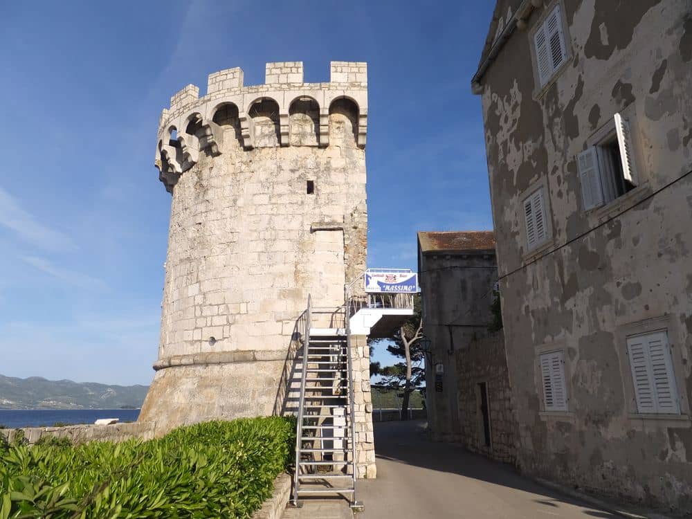
Zakerjan stands at the north-western corner of the walls, where the peninsula is most exposed to the open channel, and it was raised in the 15th century as part of the seaward ring. The lower part is massive and closed, the upper opens into a crenellated crown from which the passage of ships between Korčula and Pelješac was watched. In summer an open-air bar works at the top. The staircase was never meant for carrying loads, so drinks are hauled up by block and tackle, and you sit by the battlements looking west, one of the better sunset spots in town. Access is by steps only and unsuitable for anyone with limited mobility. Out of season it is closed.
Tvrđava sv. Vlaha
The fort of St Blaise covers the western side, where the channel opens towards the open sea, the direction danger usually came from. It belongs to the series of towers and bastions built under Venetian rule once the defence had to adapt to cannon, and is named for the saint the southern Adriatic invokes against calamity. The town's hardest test came in 1571, when the Ottoman fleet under Uluz Ali sailed before the walls. Most of the population had taken shelter, and the remaining defenders, led by the priest Antun Rožanović, held the walls and the town did not fall. You reach the fort along the seaside promenade, and its terrace faces Pelješac and the sunset. The ground is rough, so wear firm shoes.
Žrnovo Village
Žrnovo sits 3 km above the town and about 100 m higher, and it is 4 hamlets separated by fields: Postrana, Brdo, Kampus and Prvo selo. Like most older villages on the island it was built inland, away from pirates, with stone houses, narrow streets and terraces of olives and vines around it. Visitors climb for the food and for the dance. The food is žrnovski makaruni, a pasta still rolled by hand around a thin rod and served in several village taverns with beef goulash. The dance is the mostra, a knightly sword dance related to the Moreška and performed on feast days. A road leads up, and so does a footpath that climbs for about 30 minutes.
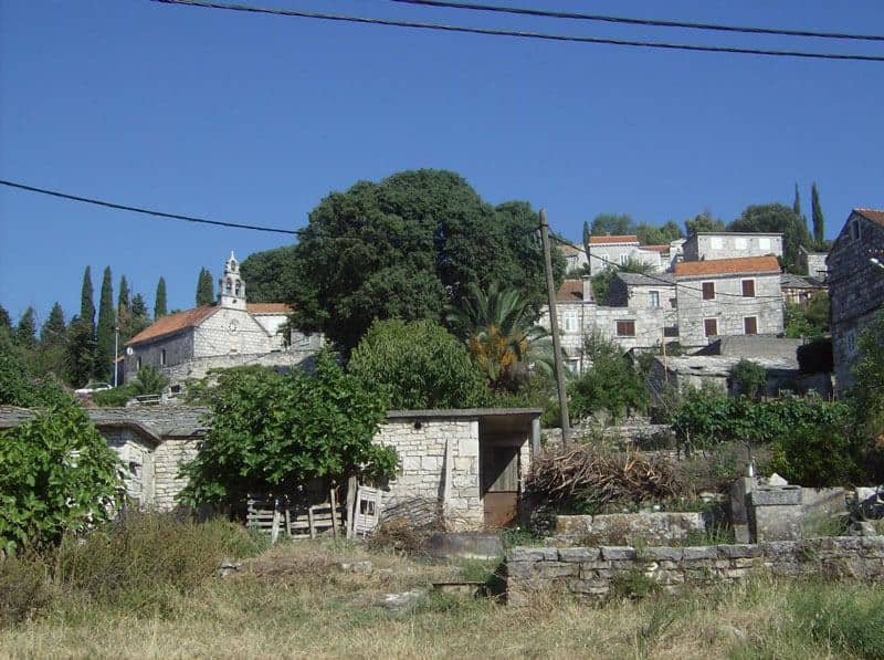
Vrnik Island
Vrnik is a few minutes by boat from town, and its whole history is stone. White limestone was cut from its quarries for centuries and went into the cathedral, the town towers and palaces along the Dalmatian coast. The stonecutters lived on the islet itself, so in the 19th century Vrnik had several hundred inhabitants, a school and a chapel. When demand fell the people left and the houses became summer homes. A few families live here all year, and in summer 2 taverns and a small art workshop open. The abandoned quarries show as flat white faces along the shore. Taxi boats run from Korčula and from Lumbarda, and swimming is from concrete platforms straight into deep water.
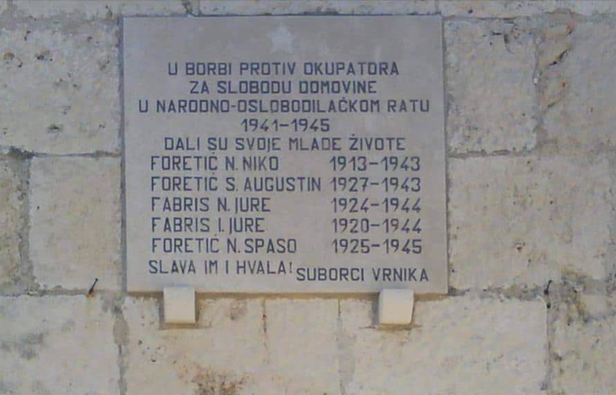
Račišće Village
Račišće is 12 km west of town on the north coast and younger than most villages on the island. It arose in the 17th century, when families from the Herzegovinian and Bosnian hinterland moved here to escape the Ottoman advance, and unlike the older settlements it was built right by the sea. Limestone was cut from the quarries nearby, and in the 19th and 20th centuries the village was known for its seafarers and shipowners. Today it has a few hundred inhabitants, a harbour with small boats, 2 shops and several taverns, and the bays of Vaja and Samograd beside it are among the cleanest on the island. A local bus runs here along a narrow coast road.
Brna Bay
Brna is the harbour of Smokvica, which lies 5 km higher up the slope. The bay is narrow and drawn in, so it is sheltered from the bura and from most of the sirocco, which is why Smokvica families kept boats here for centuries and shipped wine from here. Today it is a small resort with a few hotels, a marina and a waterfront. The sea is calm almost all summer, the depth grows slowly, and the shore has concrete platforms and a few shingle coves. Facilities are modest and sufficient: a shop, several restaurants and boat hire. Istruga, with its medicinal mud, is 1.5 km west along the coast. It is a quiet base with the sea at the door.
Blato Old Town
Blato is the largest settlement in the interior, about 40 km from the town by road. It grew along a single long street following a gentle valley, and the name comes from the marsh that was drained for farmland. It lived from wine and olives, and at the end of the 19th century had more people than today: when phylloxera destroyed the vineyards, thousands left for South America and Australia. The centre has the parish church of All Saints with Baroque altars and several stone palaces. The main street is shaded by Zlinje, a lime avenue planted in 1911, nearly 1 km long and among the longest in Europe. On 28 April, the feast of St Vincenza, the kumpanjija sword dance is performed.
Hum Peak above Vela Luka
Hum is the hill above Vela Luka, about 370 m high and the best viewpoint over the western end of the island. The summit is bare, so the horizon is almost unbroken: the whole bay, Proizd to the north-west, and on a clear day Vis, Hvar, Lastovo and part of the Pelješac coast. A chapel stands on top beside the remains of a 20th century military post. The ascent from Vela Luka is by gravel track and path, takes about 1 hour and climbs steadily, without sharp sections or shade. Carry at least 1 litre of water per person. A car with enough clearance can use the unsurfaced track. Late afternoon is best: the bay opens west and the sun drops straight into the sea.
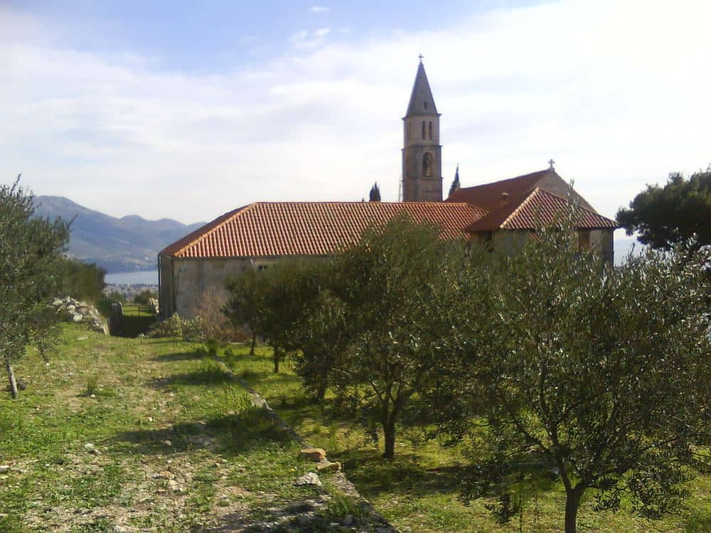
Samostan Gospe od Anđela
The monastery of Our Lady of the Angels stands on the slope above Orebić, about 150 m above the sea. The Franciscans built it in the 15th century beside a church with Gothic features, on a site that watches the whole channel. Orebić captains, who sailed the world in the 19th century, left votive paintings of their ships here, and vessels passing through the channel sounded their horns towards it. Beside the church are a cloister, a small collection and the cemetery of the captains' families. A road and a footpath lead up from Orebić, a climb of about 30 minutes, and the view down onto the old town of Korčula across the water is the best there is. Cover your shoulders and knees.
Frequently asked questions
- Was Marco Polo really born in Korčula?
- There is no evidence for it. The claim rests on the family name appearing on the island and on Korčula having been under Venetian rule, but no document links Marco Polo's birth to the island, and Venice remains the answer historians give. The house sold as his birthplace is a later structure. It is worth visiting for the rooftop view, not as a historical site.
- Are there sand beaches on Korčula?
- Yes, which is unusual for this coast. Lumbarda, six kilometres east of Korčula town, has Vela Pržina and Bilin Žal, both genuine sand rather than pebble. The same sandy soil is the reason the Grk grape grows there and nowhere else. Elsewhere on the island the beaches are pebble or rock, with Pupnatska Luka and Žitna among the best.
- Is it spelled Korcula or Korčula?
- The Croatian spelling is Korčula, with a caron on the c, pronounced roughly "KOR-choo-la". Korcula without the caron is what most keyboards and booking sites produce, and it means the same island. In Italian the island is Curzola, a name you still meet in older maps and in Italian travel writing.
Share this guide
Questions about your trip?