Plan the park around your entrance, available time and the official lake programmes, not around a single waterfall photo.
Checked: 21 September 2026
Plitvice is not one lake and one viewpoint. The park experience is a chain of Upper Lakes, Lower Lakes, waterfalls, forest paths and wooden boardwalks connected by official routes. In summer the best plan begins before arrival: choose the entrance and time on the ticket, decide how many hours you can walk comfortably and keep enough margin for queues, heat and photo stops. This makes the day calmer and prevents the common mistake of rushing toward Veliki Slap while missing the quieter water and forest that make the park special.
Match the route to your available time
The official lake programmes range from shorter Lower Lakes or Upper Lakes circuits to full routes linking both systems. Entrance 1 is the natural start when Veliki Slap and the Lower Lakes canyon are the priority. Entrance 2 works well when Lake Kozjak and the Upper Lakes are central to the day. The electric boat across Kozjak and the panoramic vehicle are included when they form part of the selected official programme, but they should support the walk rather than turn the visit into a race between transport stops.
- Book through the official park webshop and validate the ticket at the entrance and time selected during purchase.
- Use shoes with grip because wet boardwalks and stone steps can be slippery even on a dry summer day.
- Keep the boardwalk moving at narrow points and save longer photo stops for wider platforms and viewpoints.
- Check official conditions on the morning of the visit because weather and water levels can change route availability.
A complete day is better than a complete checklist
If you have only a few hours, choose one lake system and enjoy its rhythm. With most of a day, connect Veliki Slap, the Lower Lakes, Kozjak and part of the Upper Lakes. Save the longest all-lakes walk for a day when everyone in the group is ready for sustained walking. In CroVenture, mark the main clusters before arrival, then let the official signs lead on the ground. The goal is not to touch every point on the map, but to leave with a clear memory of water, limestone, forest and changing height.
Getting to the entrances
The park lies on the D1 road between Karlovac and the Lika plateau. From Zagreb it is 130 km and about 2 hours by car, on the A1 to Karlovac and then the D1. From Zadar it is 130 km and about 60 minutes 45 minutes, from Split 250 km and 3 hours, both on the A1 and then across to the D1. Each entrance has a car park, charged at 2 euro per hour in peak season, and both fill from mid morning in July and August. Buses from Zagreb take about 2 hours 15 minutes and stop on the main road at both entrances, so you can begin at Entrance 2 and catch the return bus at Entrance 1. Korenica, 10 km south, has the nearest bus station.
| From | Distance | Car | Bus |
|---|---|---|---|
| Zagreb | 130 km | 2 h | about 2 h 15 min |
| Zadar | 130 km | 60 minutes 45 min | about 2 h 30 min |
| Split | 250 km | 3 h | about 4 h |
| Korenica | 10 km | 15 min | nearest bus station |
The hours that shape the day
In high season the entrances open at 07:00 and close at 20:00, but ticket sales end at 17:00, and that is the cutoff to plan around. The short boat crossing on Kozjak runs until 20:00, the long boat routes stop at 18:30 and the panoramic vehicles start at 07:30, so a route that depends on a long crossing must reach the dock well before evening. There are 2 quiet windows: the first 2 hours after opening, when Milanovac and the canyon viewpoint are almost empty, and the period after 16:00, when the coaches have left and an afternoon adult ticket costs 25 euro against 40 euro for the full day. The afternoon ticket suits one lake system walked slowly, the Lower Lakes from Entrance 1 or the Upper Lakes from Entrance 2.
The Upper Lakes walk in detail
From Entrance 2 the panoramic train leaves Station 1 and reaches Station 3, the far stop near Prošćansko, in about 15 minutes. From there the path descends all the way. It begins at Labudovac, where the water from Prošćansko drops some 20 metres into Okrugljak and the path passes through spray beside a cave under the barrier. Batinovac and Vir follow, with mirror surfaces on still mornings. At Galovac the walkway passes below Veliki and Mali Prštavac, then crosses the barrier itself between a dozen separate streams above Galovački buk, the slowest stretch of the upper chain after 10:00. Gradinsko comes next, shallow and full of reeds and birds, then the Burgeti pools, and the walk ends at dock P2. Count 2 to 3 hours on foot before the boat across Kozjak to P1 and the Lower Lakes.
The Lower Lakes canyon in detail
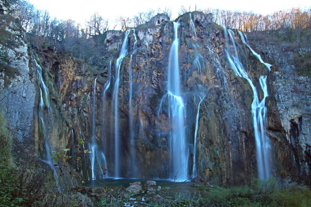
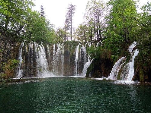
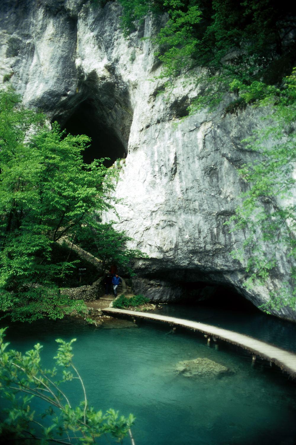
From Entrance 1 the steps drop into the canyon and in a few minutes reach the viewpoint above the lower chain, where the 4 lakes are seen following each other in steps. The platform is small and railed, so a queue forms from mid morning. The path continues to the bridge below Veliki Slap, where the Plitvica stream falls 78 metres from the side, then to the bridge over Sastavci, where the last lake spills into the Korana and the spray is heavier than anywhere else in the park. In August the Great Waterfall thins to slender jets, so the canyon walls and the colour of Milanovac carry the scene. The walkway then runs upstream through Novakovića Brod, Kaluđerovac and Gavanovac to Milanovac and dock P1. A side path enters Šupljara cave, about 60 metres long, narrow and wet, and comes out above the canyon a few minutes below the viewpoint. Allow 90 minutes to 2 hours, with climbs.
What to bring
Past the entrances the lake zone has few services. There are kiosks at the docks, a restaurant at dock P2 and another at Entrance 2, toilets at the docks and a cloakroom at Entrance 1 for anything you do not want to carry. The Upper Lakes are shaded by beech and fir, but the Lower Lakes canyon and the boat crossing are open to the sun, and in August the afternoons are hot. The list below covers a full day on the longer routes.
- At least 1 litre of water per person, since the kiosks stand only at the docks and entrances and the long routes pass nothing between them.
- A packed lunch, because the tables at dock P2 are the only place to sit and eat inside the lake zone and they fill at midday.
- A light waterproof layer for Sastavci and the Prštavac falls, where spray reaches the boardwalk even on a dry August day.
- A hat and sun cream for the Lower Lakes canyon and the boat crossing, which are open to the sun from late morning.
- A lens cloth, because mist from the falls settles on camera glass and phone screens within seconds.
- A small bag only, as the boardwalks are narrow and a wide rucksack blocks the single-file stretches at Milanovac and Galovac.
With children
Children under 7 enter free and those from 7 to 18 pay a reduced rate. Pushchairs do not work on the boardwalks or on the stair sections of the Lower Lakes, so bring a carrier for small children. Long stretches of walkway have no railing and the water is close, which means holding hands at the narrow points. Programme A from Entrance 1, 3.5 km and 2 to 3 hours, is the usual choice for a family, and the boat and train break up the walking. Šupljara cave is popular with older children but is narrow, wet and ends in a climb. Outside the park, the adrenalin park has low rope courses for children, the Speleon centre in Rakovica has cave models to touch and does not depend on the weather, and Ranch Deer Valley, about 20 minutes' drive, lets children feed deer under supervision if you book ahead.
Eating and sleeping near the park
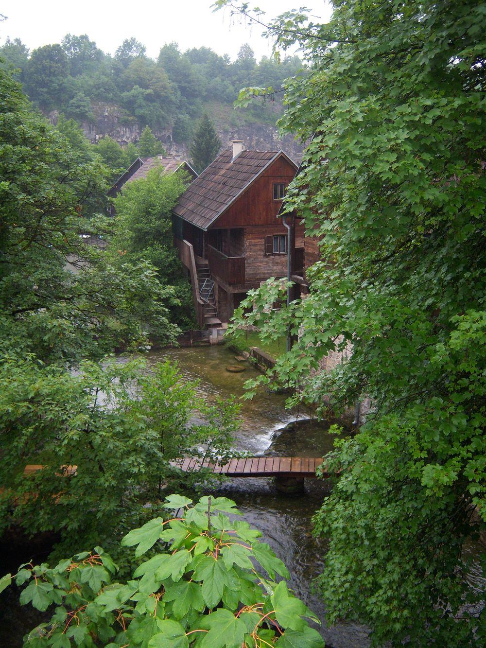
Most visitors eat after the walk. Mukinje, a few minutes on foot from Entrance 2 by a forest path, has a shop with bread, dairy, fruit, Lika cheese and honey, open every day and longer in summer, and restaurants for the evening. Korenica, 10 km south, is the nearest town with a full set of shops, a pharmacy, a bank, a petrol station and a health centre. For an evening away from the gates, Rastoke, the village built on the falls of the Slunjčica north of the park, lies on the road back toward Karlovac and Zagreb and takes about an hour to walk with a ticket.
For a night, Plitvica Selo is a few minutes on foot from Entrance 1, a village of guest rooms and apartments above the canyon. Mukinje and Jezerce, 2 km south of Entrance 2, put you on the Upper Lakes at opening, and the park's own hotels stand at Entrance 2 itself. Smoljanac on the road to Rakovica and Korenica in the south cost less than the settlements at the gates, and the village of Korana, 10 minutes' drive north, has a campsite on the riverbank. With a 2-day ticket at 60 euro in summer you can split the park: the Lower Lakes after 16:00 on the first day, when the boardwalks empty, and the Upper Lakes at 07:00 the next morning.
The places, one by one
| Place | What it is | Time needed |
|---|---|---|
| Prošćansko Lake | Highest lake, start of the chain | 30 to 45 minutes |
| Ciginovac Lake | Quiet forest lake below Prošćansko | 20 to 30 minutes |
| Okrugljak Lake | Round lake under the Labudovac falls | 20 minutes |
| Veliki Prštavac Falls | Broad fall above Galovac | 20 minutes |
| Pevalekovi Waterfalls | Mossy steps named after a botanist | 15 minutes |
| Lakeside Boardwalks | 18 km of wooden walkways over the water | the whole visit |
| Lake Kozjak | Largest lake, crossed by boat | 30 to 45 minutes |
| Lake Milanovac | Green lake below Kozjak | 20 minutes |
| Lake Gavanovac | Shallow, clear lake with broad curtains | 15 minutes |
| Lake Kaluđerovac | Dark lake under the cave cliff | 15 minutes |
| Novakovića Brod Lake | Last and lowest lake in the chain | 15 minutes |
| Zipline Beware of the Bear | Cable flights over a forest hollow | 1 to 2 hours |
| Rakovica Market | Village market with Lika produce | 30 minutes |
| Drežnik Old Town | 13th century fortress above the Korana | 30 to 45 minutes |
| Gola Plješivica | 1,649 metre summit on the Bosnian border | a full day |
Prošćansko Lake
Prošćansko is the first and highest lake in the chain, at 636 metres above the sea, and the second largest in the park after Kozjak. The Crna and Bijela rivers meet south of the lake and feed it with water from the forests of the Lika plateau, and from here the whole system sets out, descending through 16 lakes toward the Korana. The lake is long and narrow, ringed by beech and fir forest that is mirrored in the water. The shore is mostly unbuilt because the main routes pass further downstream, so there are fewer people here than anywhere in the lake zone. A path from the upper entrances leads along it with several viewpoints. Get off at Station 3 and walk up to it before you turn downhill.
Ciginovac Lake
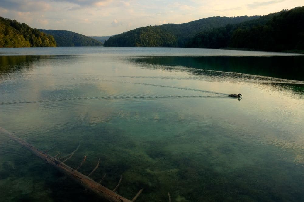
Ciginovac is the second lake in the upper chain, directly below Prošćansko, and one of the quieter places in the park, because the main paths run along the forest edge above it. Dense beech forest surrounds it and gives the water a dark colour. It lies under the slope, so it sits in shade for most of the day and the surface is usually still enough to mirror the trees. Its water spills over a low tufa barrier toward Okrugljak. A path from the upper entrances leads down to it, a walk of some 20 minutes. Come here to see what the landscape looks like without the crowd: forest, water and the sound of water, and little else.
Okrugljak Lake
Okrugljak takes its name from its rounded shape, unusual in a chain of elongated lakes that follow the run of the valley. Water reaches it from 2 sides, from Prošćansko over the Labudovac barrier and from Ciginovac, so it holds more water than the lakes beside it. A wooden walkway runs along the northern edge, and from it you see the falls from below, branching across the overgrown rock. The forest around is dense and damp, with moss covering the stones. The falls above the lake are at their strongest in spring, when the snow melts on the Lika plateau, and in a dry August they break into a few thin jets. Allow 20 minutes here.
Veliki Prštavac Falls
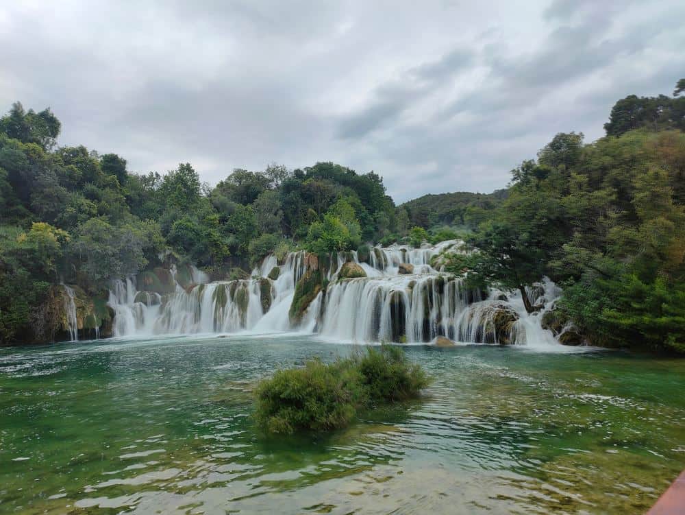
Veliki Prštavac is one of the strongest falls in the upper chain. The water drops over a high barrier into Galovac in a broad curtain, and when the flow is strong it is heard from far off. The name comes from prstanje, the sound water makes as it strikes stone and breaks into droplets. Moss and shrubs on the barrier keep building the tufa up, so the shape of the fall changes over decades. The walkway passes below the fall, right by the rock, and the boards here are always wet. Mali Prštavac stands beside it on the same barrier, lower and narrower, its thinner jets scattering over the moss. Come early: the boardwalk is nearly empty then and the spray often carries small rainbows.
Pevalekovi Waterfalls
The Pevalek Falls carry the name of Ivo Pevalek, a botanist who in the years after 1918 studied how the Plitvice tufa forms. He showed that it is a living process depending on mosses, algae and the composition of the water, and his work was the main argument for protecting the area and for the proclamation of the national park in 1949. The falls lie in the upper chain on a barrier that descends in several broad steps overgrown with moss, and the path passes right beside them. What you see is exactly what he described: plants catching the limestone from the water and turning it to stone. The flow is greatest in spring. Stop and look at the edges of the steps, where the new stone forms.
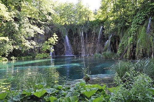
Lakeside Boardwalks
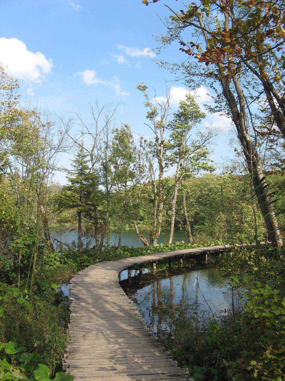
The wooden walkways are the main way of moving through the lake zone. There are about 18 km of them in all, running over the water, along the edges of the barriers and through the shallow parts of the lakes. They are built of timber from the surrounding forests and renewed regularly, because damp and tufa wear them quickly. Tufa also settles on the boards, so stretches of walkway grow into the ground over time. On most sections there are no railings, and that is deliberate: railings would block the view and speed up decay. In season you walk in a single direction, following the markings, so once you have passed a point you do not go back to it.
Lake Kozjak
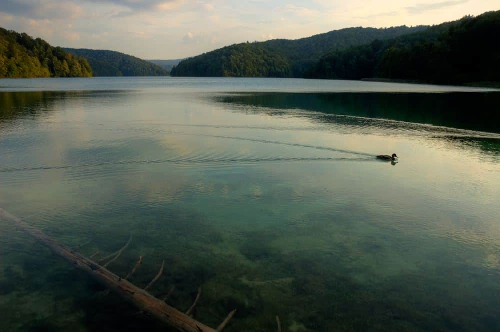
Kozjak is the largest of the lakes, about 82 hectares in area and up to 47 metres deep, and it divides the Upper from the Lower Lakes. It formed when 2 lakes merged as the tufa barrier between them grew high enough to raise the water level, and the drowned old barrier can still be seen below the surface, stretching across the lake. The water is cold all year and markedly green from the dissolved limestone. On a peninsula reaching into the lake stand the remains of Krčingrad, a fortification from the late Middle Ages abandoned after the Ottoman incursions of the 16th century and the only trace of human building in the lake zone. It has no arranged access, so look for it from the boat.
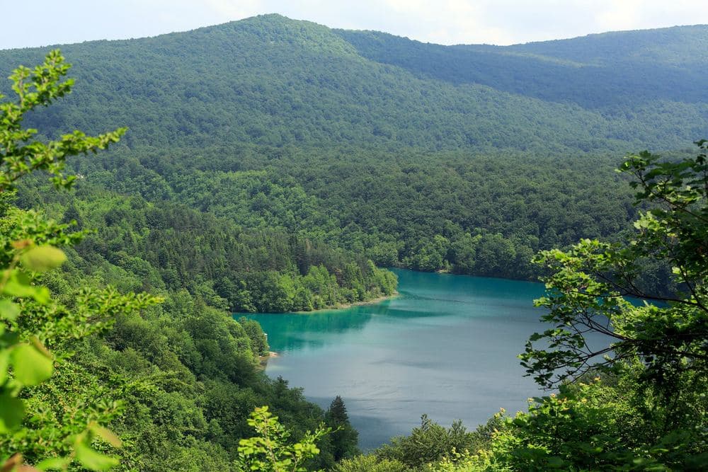
Lake Milanovac
Milanovac is the first lake of the lower chain, directly below Kozjak, and its colour is among the most striking in the park. The water shifts from deep green to turquoise depending on the light and on how much limestone it carries. The lake lies in a narrow part of the canyon, ringed by cliffs and by forest that comes down to the water, and the barrier at its end lets the water down toward Gavanovac in a run of cascades. The walkway crosses the lake just above the surface, so in the clear water you see drowned trees and shoals of fish under your feet. The passage is narrow and a crowd builds here by late morning, so keep moving and look down as you go.
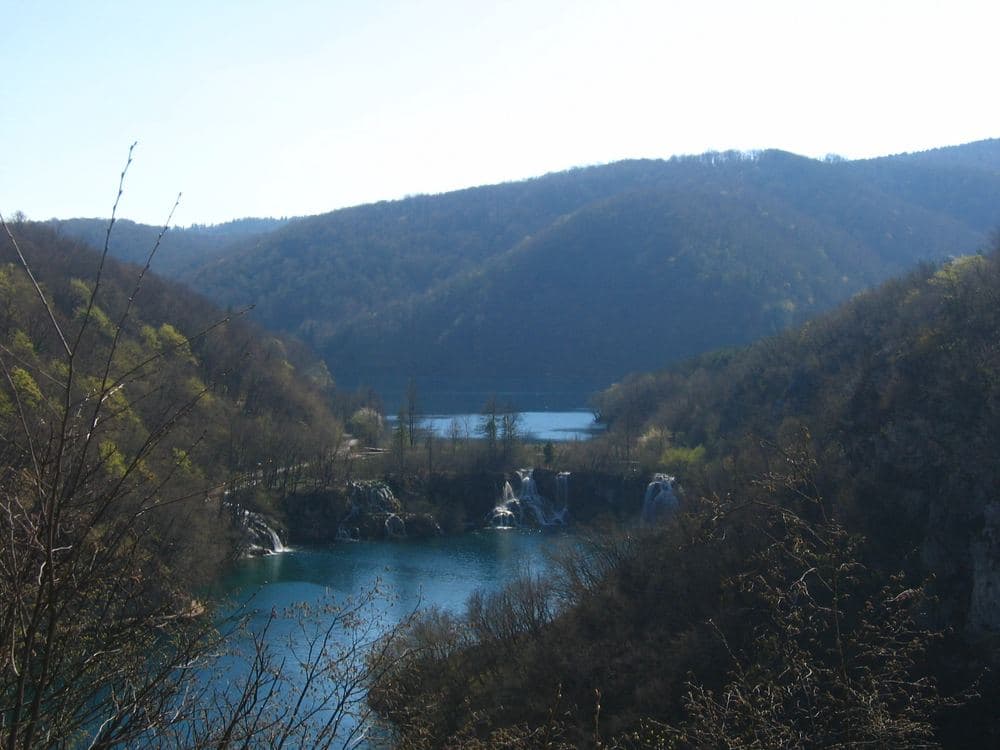
Lake Gavanovac
Gavanovac lies between Milanovac and Kaluđerovac, with a barrier that lets the water down in several broad curtains. Its name is tied to the story of the rich Gavan, told in these parts in several versions: he refused to help a beggar, so his estate sank and a lake formed on the spot. Legends of drowned manors are common in karst country, where water really does vanish underground. The lake is shallow and very clear, with tufa deposits visible on the bottom. The walkway runs along its edge, and off to the side the mouth of Šupljara cave shows in the cliff above. This is the place to look at the bottom: the white deposits are the barriers of the future.
Lake Kaluđerovac
Kaluđerovac lies in the narrowest part of the canyon, under the vertical cliff in which Šupljara cave opens. The name comes from kaluđer, a monk, and the tradition of a hermit who lived in that cave. The lake is deep and dark green, and the cliff above throws shade on the water for most of the day, so the colour shifts from dark blue to emerald as the sun moves. Over the barrier at its end the water passes into Novakovića Brod, the last lake in the chain. The walkway runs right along the cliff and over the water, while steps to the side climb toward the cave mouth and on to the viewpoint. If you skip the cave, this is where the canyon walls stand closest.
Novakovića Brod Lake
Novakovića Brod is the last and lowest lake in the chain, at about 503 metres above the sea, some 130 metres lower than Prošćansko at the top. It is small and shallow, ringed by the canyon walls, and its water leaves through Sastavci into the Korana. The name comes from brod in the old sense of the word: a place where a river could be forded, because the water here was shallow enough to cross. A walkway runs through the lake and over the barrier, ending at the bridge below the Great Waterfall. From here steps climb toward Entrance 1, or the path continues along the Korana toward the way out of the canyon. By now you have walked the whole drop of the chain.
Zipline Beware of the Bear
The zipline near the park is strung across a forest hollow, with steel cables stretched between 2 slopes, so the flights run above the treetops and a stream. The name plays on the fact that the brown bear really does live in these forests, one of the largest populations in this part of Europe, though the animals avoid people and are seldom seen. Guides explain the gear and the braking before the start, and each leg lasts a few dozen seconds. There are weight and age limits, and in heavy rain or wind there are no flights. It works from spring to autumn and arrival is arranged in advance. It fits an afternoon after a morning on the Lower Lakes.
Rakovica Market
Rakovica is a village in a karst valley north of the park, on the road to the Barać caves, and its small market works by the main road in the centre. What is sold reflects what this area gives: potatoes, cabbage, carrots and beans from the gardens around, apples and plums in autumn, Lika cured meats, sheep's and cow's cheese, forest-flower honey and home-made brandy. Beside the food stalls stand sellers of seed, tools and handicrafts. It is liveliest in the morning and at weekends, and out of season it comes down to a few regular sellers. A shop next to it covers whatever the market does not. If you are self-catering in Smoljanac or Korana, this is the place to stock up.
Drežnik Old Town
Drežnik Grad is a medieval fortress on a rocky spur above the canyon of the Korana, some 20 km north of the park. It was raised in the 13th century by the counts who held this part of Kordun, on a site chosen to control the road from Lika toward the Kupa basin. In the 16th century it stood on the line of defence against the Ottoman Empire as part of the Military Frontier and was rebuilt and strengthened several times. After the border moved it lost its purpose and fell into ruin. Today the walls, the foundations of towers and the entrance are visible, with paths and explanatory panels on part of the site, and the river shows far below. Access is free.
Gola Plješivica
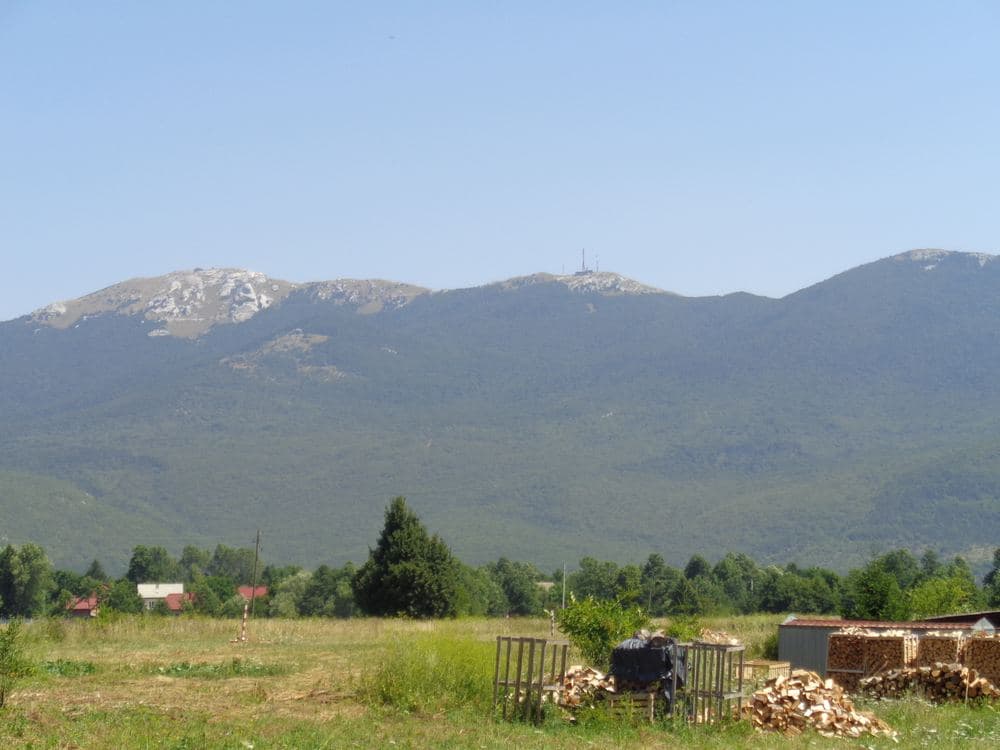
Gola Plješivica is the highest peak of the range east of the park, at 1,649 metres, and the state border with Bosnia and Herzegovina runs across the summit. The top is bare of forest, which is where the name comes from, and on a clear day you see the whole of Lika, the Plitvice valley and part of the Una. Inside the mountain lies an abandoned underground military complex from the Yugoslav period, one of the largest of its kind in Europe. Entering is dangerous and forbidden because of uncleared minefields. The climb follows marked paths and is advised only with a guide. Stay on the marked ways, carry an ID document because the summit lies on the border, and check the weather before you set out.
Frequently asked questions
- How long do you need at Plitvice in summer?
- Between 3 and 8 hours, depending on the programme. The Lower Lakes alone take 2 to 3 hours from Entrance 1, the Upper Lakes 2 to 3 hours from Entrance 2, and a circuit of both systems with the boat and train 4 to 6 hours. The all-lakes walk of about 18 km takes 6 to 8 hours.
- Can you walk from Entrance 1 to Entrance 2?
- Yes, along the official routes. Programmes C and H link both lake systems and cross Kozjak by electric boat, since there is no shore path along the whole length of the lake. The walk between the systems takes 4 to 6 hours with the boat, and buses on the main road link the 2 entrances if you want to return without walking.
- Is Plitvice too crowded in August?
- The Lower Lakes canyon is the narrowest part of the park and the most crowded, above all between 10:00 and 15:00. Arrive for 07:00 or use the afternoon ticket after 16:00, start at Entrance 2 and walk the Upper Lakes downhill from Station 3. Done that way the crowd shrinks to a queue at a few narrow points.
- Can you swim in the lakes or bring a dog?
- Swimming is forbidden everywhere in the park, and so are drones, feeding the fish and stepping off the boardwalks. The rangers are present and fines are issued. Dogs are allowed on a lead. The rules protect the tufa barriers, which depend on the water staying unchanged and grow only about 1 centimetre a year.
- What happens if it rains?
- The boardwalks stay open in rain but become slippery, and the falls grow stronger, so a light waterproof is enough for the walk. If you want to stay dry, the Barać caves near Rakovica, about 15 km north, are visited in some 40 minutes at around 10 degrees, and the Speleon centre by the main road does not depend on the weather.
Make Croatia Atlas a preferred source
One click and Google shows you our stories more often in Top Stories and in AI answers. It changes your own results only.