DHMZ has the Rijeka region on orange for Monday and most of the country on yellow: evening thunderstorms, hail and gusts of 65 to 85 km/h. Two sea lines are already suspended, and the heatwave is over.
What happened before: Heat and thunderstorm warnings across Croatia
Checked: 17 August 2026
Update, 15:00: wind warnings added, Dubrovnik no longer green
The picture has moved since this morning. The orange thunderstorm warning still covers only the Rijeka region, but a second layer has come in on top of it: yellow wind warnings now run along the whole Adriatic, and the Dubrovnik region, green at breakfast, carries a yellow thunderstorm warning this afternoon. Heat warnings have also returned in six regions, so the phrase from this morning needs qualifying: the extreme phase of the heatwave is over, ordinary summer heat is not.
| Warning at 15:00 | Regions |
|---|---|
| Orange, thunderstorm | Rijeka |
| Yellow, thunderstorm | Zagreb, Karlovac, Gospić, Knin, Split, Osijek, Dubrovnik |
| Yellow, wind | Velebit channel, Kvarner and Kvarnerić, North and Middle Dalmatia, Rijeka, Split, Knin, Zagreb, Osijek |
| Yellow, high temperature | Zagreb, Karlovac, Gospić, Rijeka, Osijek, Dubrovnik |
Roads at 15:00
- An accident between the Škurinje II tunnel and the Rujevica junction towards Rupa has traffic down to 70 km/h. That is the Rijeka bypass, the road most travellers from Slovenia and Italy use.
- Two kilometres of queue on the exit ramp at the Učka junction towards Opatija and Istria, one kilometre at Matulji towards Rijeka.
- A1: queues and short stops between Karlovac and Bosiljevo 1 towards the coast, and from Ogulin via Bosiljevo to Karlovac inland.
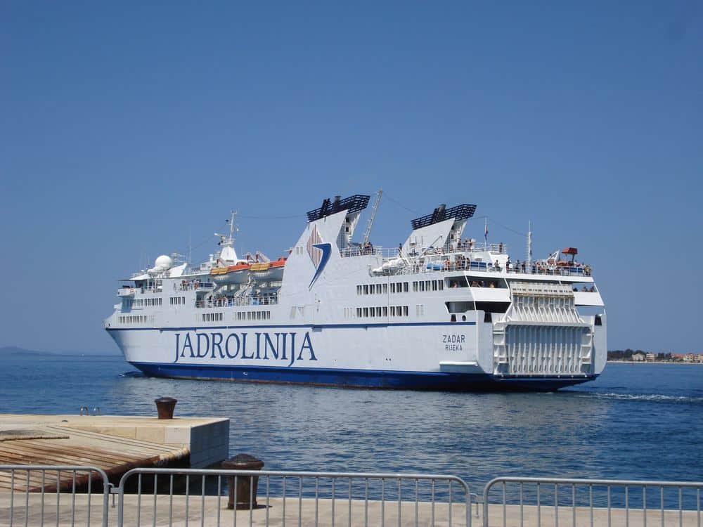
- Both suspended sea lines are still suspended: catamaran 323 through Kvarner for weather, line 54 Dubrovnik to Bari for the technical fault.
The wind warnings are the part that changes plans. A yellow wind warning over the Velebit channel, Kvarner and both halves of Dalmatia at once usually means the afternoon and evening bring gusts on exposed crossings, and that is where open-deck ferries and small boats feel it first. If you have a crossing booked for this evening, check the operator's status page rather than the timetable.
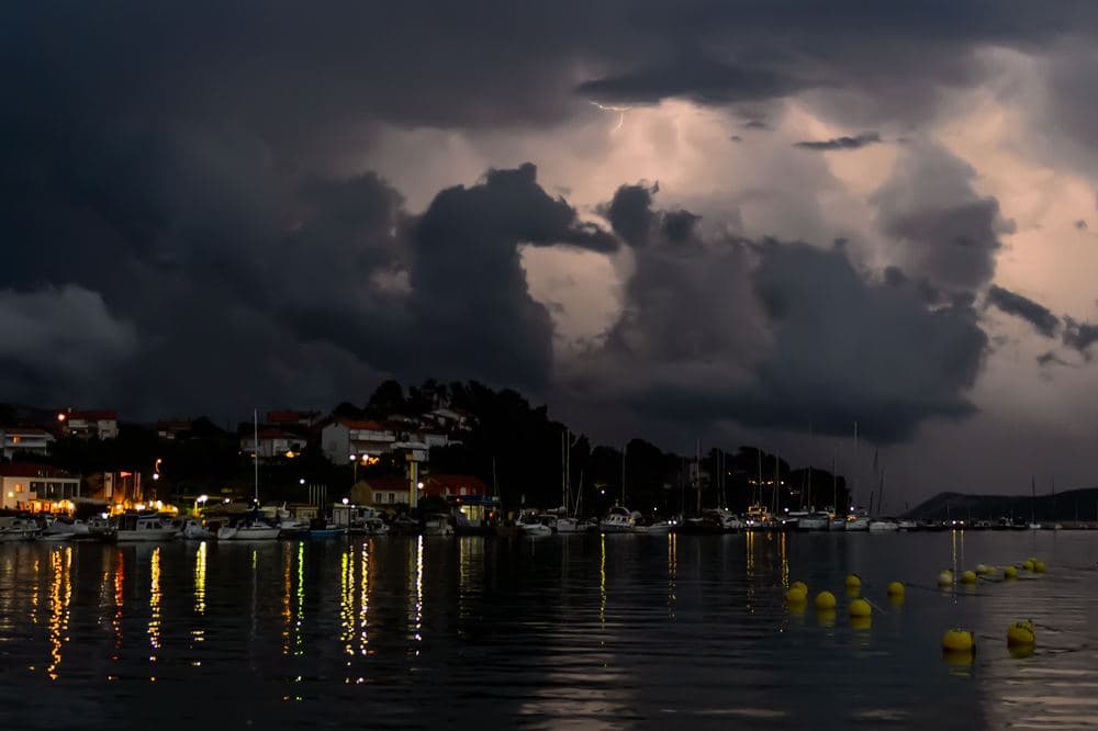
Croatia's meteorological and hydrological service, DHMZ, has placed the Rijeka region under an orange weather warning for Monday 17 August 2026, with most of the rest of the country on yellow. A front is moving in from the northwest, and the practical effect on the coast is that a calm, hot morning is likely to end in a loud evening.
What the warning says
| Region | Level | What is forecast |
|---|---|---|
| Rijeka | Orange | Heavy showers and thunderstorms, storm system possible in the evening |
| Osijek, Zagreb, Karlovac, Gospić, Knin, Split | Yellow | Thunderstorms at 60 to 70 percent probability, gusts 65 to 85 km/h, trees may come down |
| Northern coast, central Croatia | Yellow | Hail explicitly mentioned |
| Dubrovnik | Green | No warning in force |
The heatwave is over
As recently as 10 August, red heat warnings were in force for the Rijeka, Split and Dubrovnik regions, with highs forecast at 33 to 38 degrees. Monday tops out around 30 degrees nationally and up to 34 in the far east. Morning lows were 13 to 18 degrees inland and 20 to 24 on the coast. Wind inland is a moderate northerly to northwesterly, stronger in unstable periods; on the coast it starts as a light to moderate southerly and veers southwest around midday.
Ferries and roads right now
- Catamaran line 323 (Kraljevica, Crikvenica, Senj, Baška, Lopar, Rab, Lun) is suspended because of the weather, as of 07:50 on 17 August.
- International line 54, Dubrovnik to Bari, remains out of service after a technical fault that started on 16 August.
- A1: heavier traffic before the Lučko toll plaza towards the coast, denser as far as Bosiljevo.
- A2: about one kilometre of queue at the Trakošćan toll plaza towards Zagreb, about four kilometres at the Zagreb jug interchange.
Sea temperatures are unaffected
| Coastal station | Sea temperature, 16 August |
|---|---|
| Northern Adriatic, e.g. Božava | 24 °C |
| Central Adriatic | 25 to 26 °C |
| Mljet salt lakes | 28 to 29 °C |
What to change today
If you have a boat trip, a sea kayak tour, an open-deck crossing or a campsite booking on the northern Adriatic, call the operator before mid-afternoon instead of turning up. Storms in Kvarner build fast in the late afternoon, and the orange level exists precisely because gusts and lightning arrive with little warning. For drivers the evening is the awkward window: gusts of 85 km/h are enough to move a caravan or a roof box on bridge approaches and exposed coastal sections. For anything urgent, 112 is the single emergency number and is answered in several languages; roadside assistance is 1987.
The fires have not gone away
Rain is welcome after a hard fortnight, but a storm front brings lightning as well as water. Over the weekend crews were still working on fires near Lokve Rogoznice and Omiš, on Dugi otok, near Kune Pelješka and at Jovići in Zadar County. Around a hundred firefighters were deployed to the Dugi otok fire near Brbinj. The national fire association reported on 12 August that vegetation fires this season are running above 2025 levels, and four people were detained in the Benkovac area on 16 August in an investigation into suspected fire-starting. No specific fire has been publicly linked to them.
What to do tonight
- Bring in loose furniture, parasols and awnings on terraces and campsite pitches before dusk, not after the first gust.
- Do not shelter under isolated trees or on exposed headlands. The southern capes and the cliff edges are the worst place to be in a thunderstorm.
- If you are anchored, move to a protected mooring before dark. Catamarans are lighter than car ferries and are usually the first services cancelled in strong wind.
- Treat any open flame as off limits until the wind drops, barbecues included. Restrictions for high-sided vehicles and speed limits in strong wind are common on the coastal motorways, so check the road status rather than assuming your arrival time holds.
Frequently asked questions
- Is it safe to travel in Croatia on 17 August 2026?
- Yes. This is a routine summer thunderstorm warning, not a travel advisory. Orange for the Rijeka region means dangerous weather is likely there, mostly in the afternoon and evening, so the sensible response is to move outdoor and on-water plans rather than cancel a trip.
- Which region has the highest warning level today?
- The Rijeka region, at orange. Most other regions are on yellow, and the Dubrovnik region is green.
- Are the ferries running?
- Most are. As of 07:50 on 17 August, catamaran line 323 through Kvarner was suspended for weather and line 54 Dubrovnik to Bari was suspended after a technical fault. Check the operator's traffic page before driving to the port.
- Is the heatwave over?
- The extreme phase is. Red heat warnings were still in force for the Rijeka, Split and Dubrovnik regions on 10 August, with 33 to 38 degrees forecast. Monday's highs are around 30 degrees.
- How strong could the wind get?
- The DHMZ warning cites gusts of 65 to 85 km/h in several regions, with a specific mention of trees coming down.
Official sources
Make Croatia Atlas a preferred source
One click and Google shows you our stories more often in Top Stories and in AI answers. It changes your own results only.