The state weather service has a yellow warning out for the coast: bura with gusts of 65 to 85 km/h, strongest under Velebit and in the Kvarner. As of noon on 3 September no bridge or road is closed and the ferries sail. What the wind does to a travel day, and where to check before you drive.
Checked: 3 September 2026
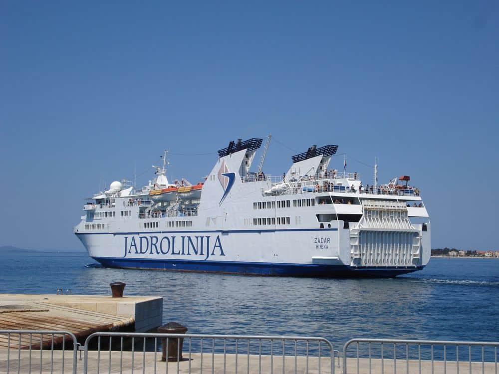
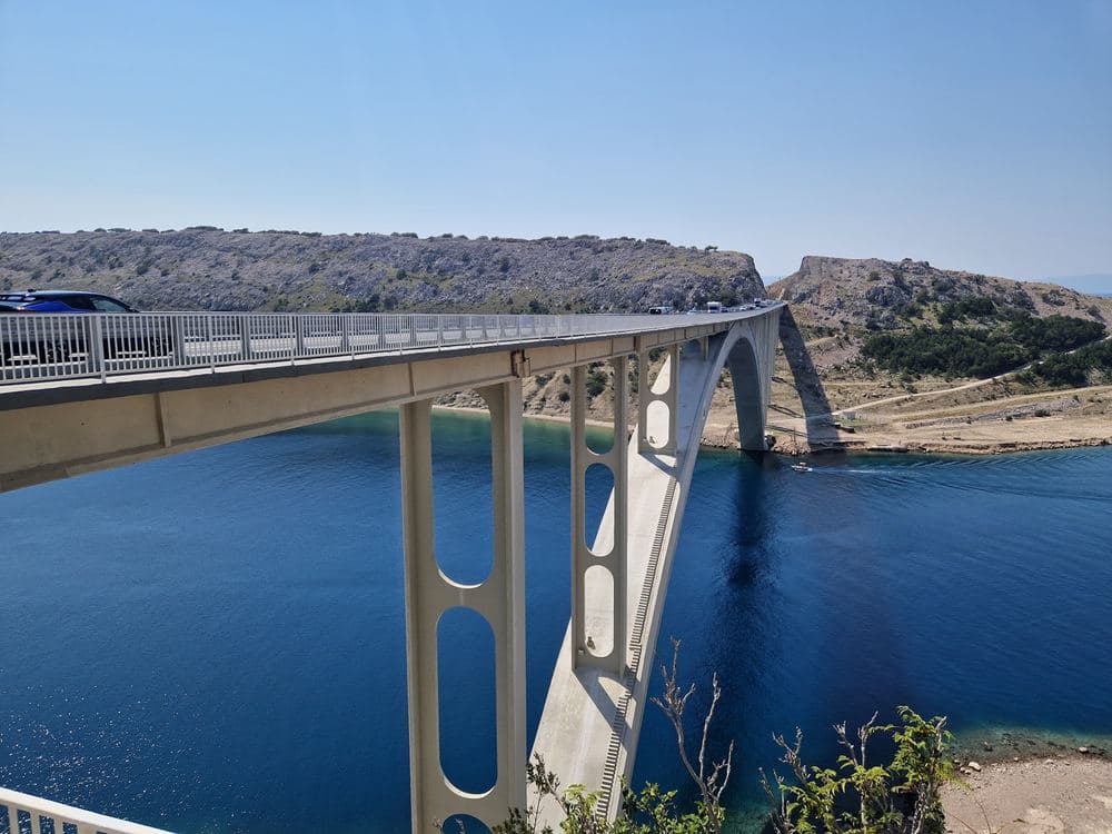
Status as of 3 September 2026, noon. The Croatian meteorological service DHMZ has issued a yellow warning for the Adriatic: a moderate to strong bura, the dry north-easterly that falls off the mountains, with the strongest gusts of 65 to 85 km/h in the Velebit channel and the Kvarner. Yellow is the lowest of three levels and means: be aware, not stay home. The traffic service HAK lists no wind-related closures at this hour, the Krk, Maslenica and Pag bridges are open to all vehicles, the A1 runs normally, and Jadrolinija sails its full timetable. The warning covers today and tomorrow; the wind is expected to ease on Saturday with a sunny, cooler weekend behind it.
What changes when the bura gets stronger
- Bridges: the Krk bridge and the Maslenica bridge on the A1 close first for high-sided vehicles, caravans and motorbikes, then for everyone above roughly 100 km/h. The Pag bridge and the Adriatic road under Velebit between Senj and Karlobag follow the same rule.
- Ferries: the short crossings in the Velebit channel, Prizna to Žigljen for Pag and Stinica to Mišnjak for Rab, are the first to stop. Split, Zadar and the southern islands are usually unaffected by a Kvarner bura.
- The A1 itself: between Sveti Rok and Maslenica the motorway can close to the first vehicle group; the detour over the old road adds an hour.
- Beaches and boats: the sea gets cold fast under a bura and small boats stay in port. Swimming is fine on the sheltered west coasts of the islands.
Where to check, in this order
HAK's road status page (hak.hr, also as an app) lists every wind closure with the vehicle group it applies to, updated within minutes. Jadrolinija's site and app show cancelled sailings per line. DHMZ at meteo.hr carries the warning map with the colour per region and the expected end. Our safety page keeps all three links and the emergency numbers in one place. If the forecast turns orange for the day you travel, cross the Velebit channel in the morning: the bura is usually weakest before ten and strongest in the afternoon.
Make Croatia Atlas a preferred source
One click and Google shows you our stories more often in Top Stories and in AI answers. It changes your own results only.