Sight
Skitača
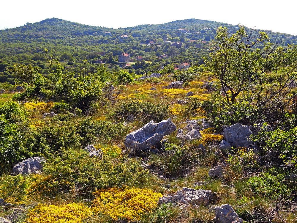
A half-abandoned village on a 425-metre plateau, with the church of St Lucy from 1616 and an educational trail.
Photo: Vid Pogačnik / CC BY-SA 4.0
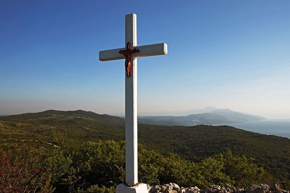
A 470-metre summit above Skitača with a view over the whole Kvarner, from Učka to Cres and Lošinj.
Photo: Vid Pogačnik / CC BY-SA 4.0
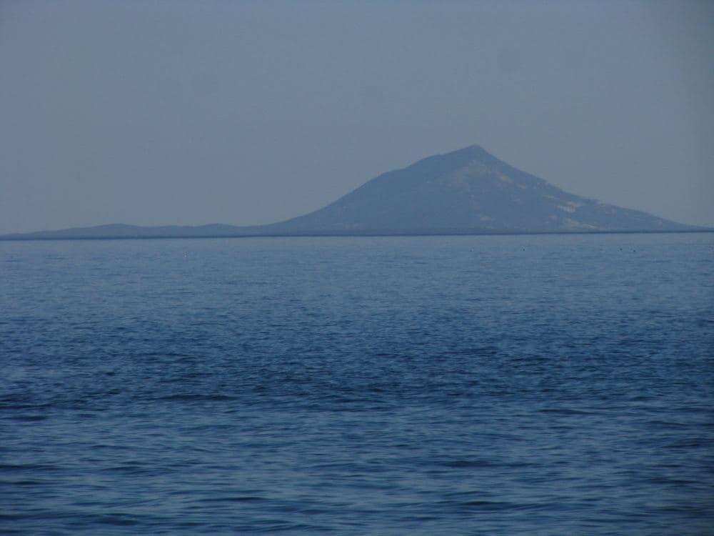
Orlić is the highest of the four hills around Skitača and the easiest to reach: a marked path leads from the church of St Lucy to the top, about twenty minutes up over rocky ground and through low woodland. At the summit there is a stone cairn, a wooden cross and the view that explains why people come. To the north rises Učka with the tower on Vojak, below it Opatija and Rijeka; to the east the whole of Cres with the Osorščica ridge, Krk behind; to the south Lošinj and, on clear days, Unije and Susak.
Ravni and Sveta Marina lie below like a model. The best light is late afternoon, when the sun comes from the west behind you and lights the islands; the sunset itself is hidden by Brdo. In winter, after the bura, visibility is greatest. There is no shade and no water, bring both.
Open location in Google MapsGuided tours and skip-the-line tickets for this spot.
Check availabilityPartner link: booking supports Croatia Atlas at no extra cost.
Use the free map from home, then verify the discovery when you reach the place.